True to my word, welcome to the second-to-last post for this trip!
For the most part, the History of the trip is seen and done, so today is more of a relaxing day along Boston Harbor, just a chance to unwind from the hustle and bustle of the last three weeks, and one last respite before we return to Texas.
This post might be more brief than the others, so here we go!
Boston Harbor
We took the subway once again to the eastern shore of main-land Boston, and arrived right in front of the New England Aquarium!
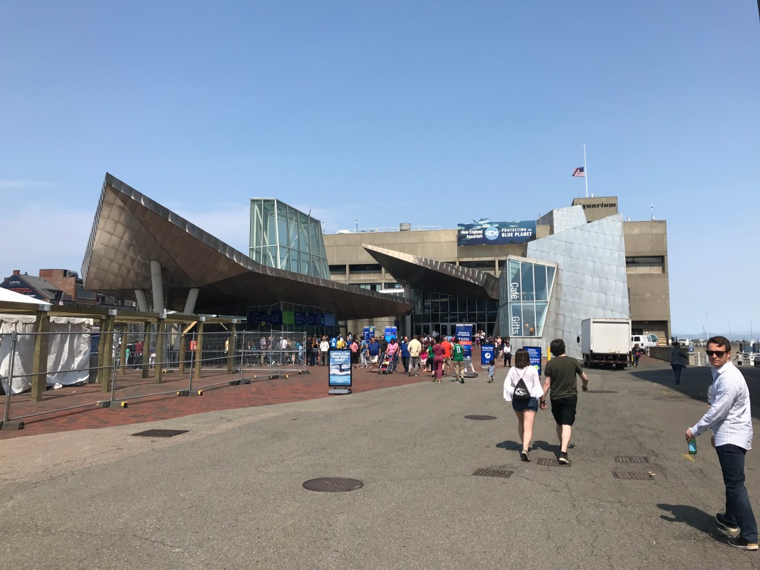
One of the larger aquariums in the country, it also happens to have one of the largest sea-water tanks in the world, and also is the residence of a 94 year old world-famous turtle named “Myrtle”.
We won’t go in here however. As much as we would have liked to have seen it, our main focus was the Harbor itself.
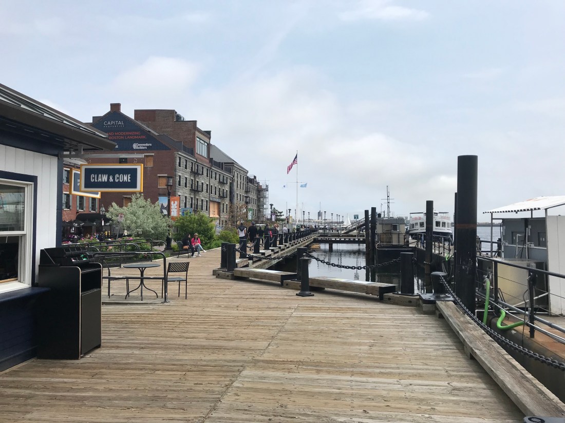
The Long-Wharf is the country’s oldest continually-used wharf, and features restaurants, docks and gift-shops. It’s from here that we will depart on an 1 1/2 boat tour of outer Boston Harbor!
For now though, let’s check out the rest of Long-Wharf.
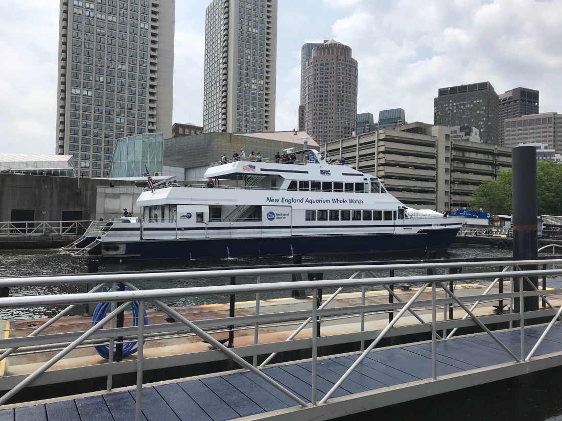
You can go whale-watching here too! It’s a very long excursion, but I imagine very rewarding. We didn’t have that time commitment however.
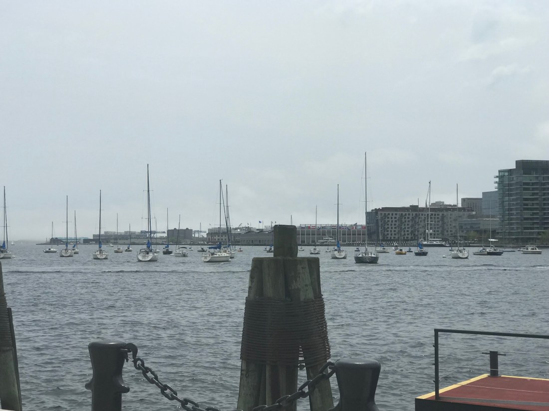
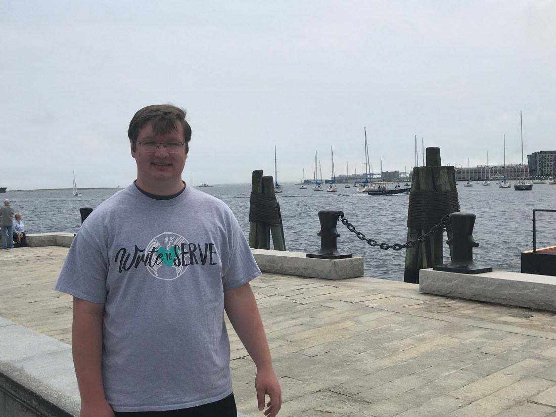
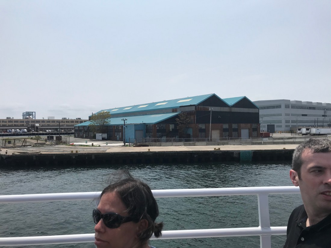
Looking across the Harbor at the various ships in the water… I wonder if some of these are houseboats, and I also wonder who owns each of them?
A closer look at a couple of sailboats.


Sitting on the wharf and feeling the cool (soon-to-be chilly) breeze was refreshing… one last hurrah before we enter back into the searing heat of the Southwest.
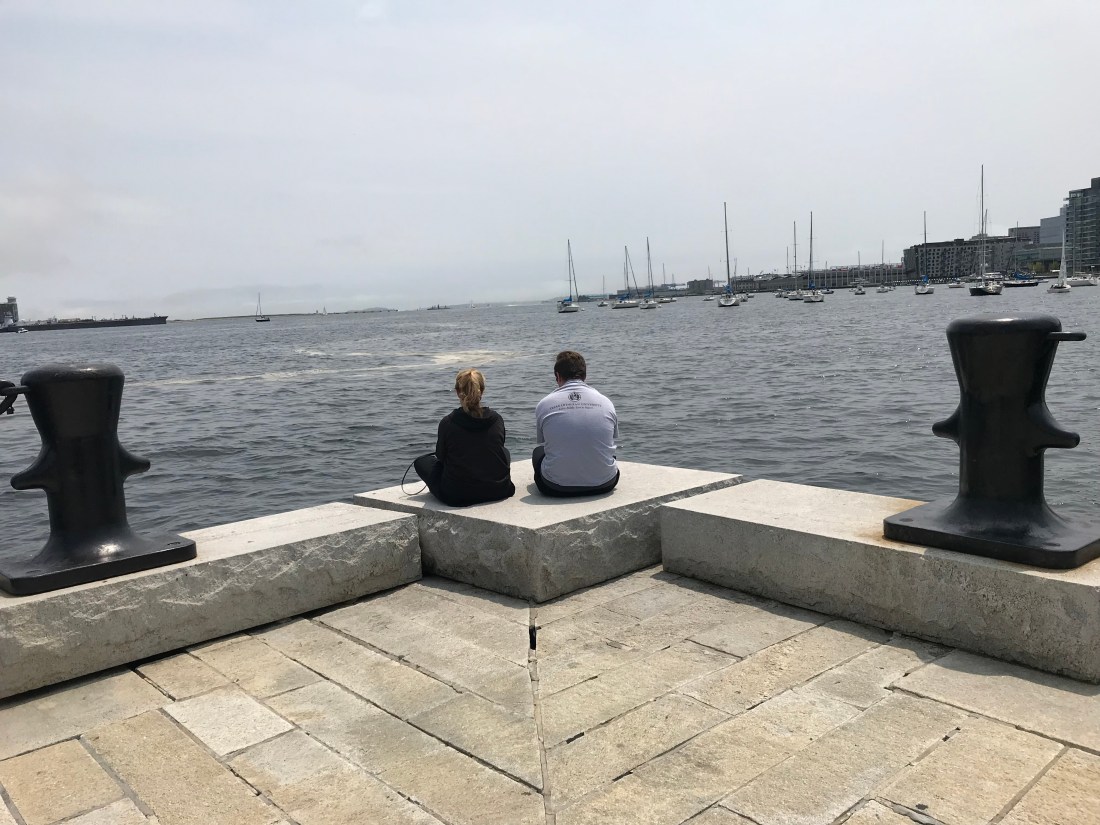
Mom and I chillin’.
Soon enough we got on our boat, which would take us for a unforgettable roundabout of the Harbor. Our narrator guide, a man with a very thick Irish accent, was one of the best that we’ve had on this trip, and his interjections of humor and wit were the life of the party!

Once on the boat, we got a beautiful view of Downtown Boston…
Did you know that approximatly 75% of the main Boston area is made up of artificial land? It’s true! Boston Harbor was a naturally-formed harbor, so to get more trade and commerce going through it’s ports, they expanded the land by artificial dirt leveled from the nearby hills, and thus, the Boston we know today was created!
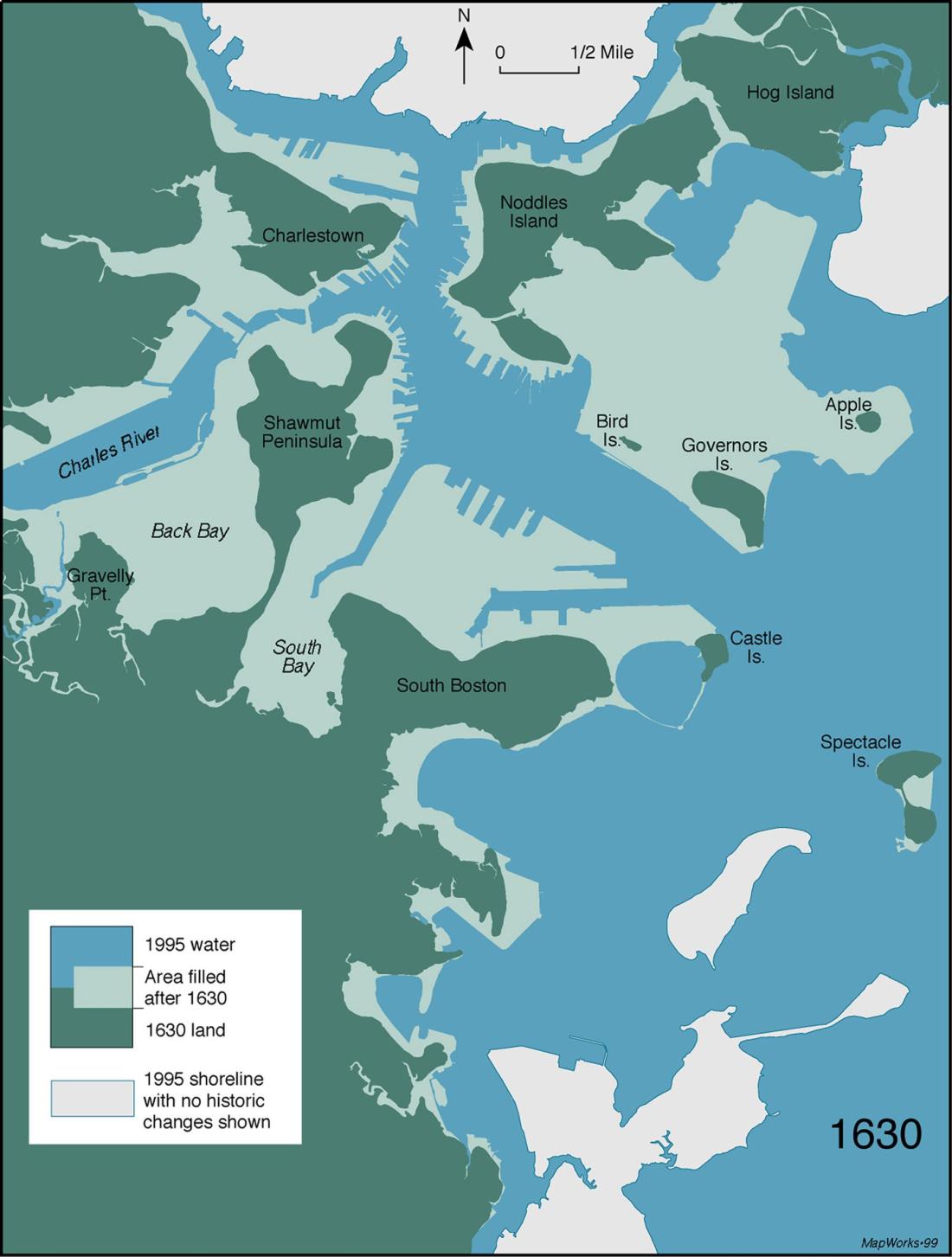
As you can see, the transformation from the 1630 Boston has simply been Staggering.
That artificial land that connects to Noddle’s Island is where Boston-Logan International Airport is located. Think about that! All the land that had to be filled in…


The Boston World Trade Center, which deals with trade from all over the globe! Note the different nation flags that hang from the top.
And this building, as pointed out by our guide…
“Is of no historical significance whatsoever.”
That made us crack up a lot.
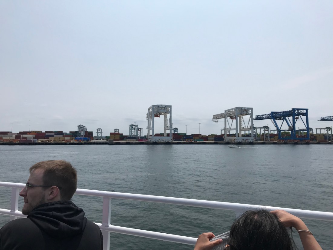
Looking at the crate docks in the distance…. Do you know what the crane to the left of the blue one reminds me of?

The AT-AT from Star Wars… I think it must’ve been an inspiration for George Lucas when he was making Episode V…

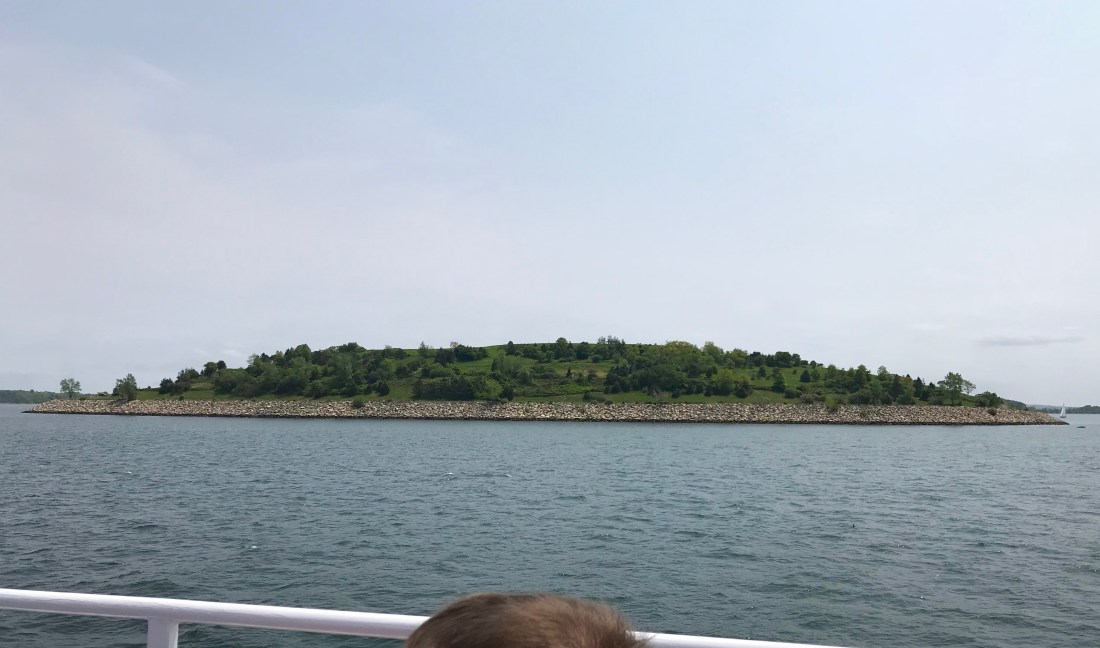
Castle Island earned it’s namesake because of the fortress that is located on it. Though there have been previous incarnations of the place, “Fort Independence” was built before the eruption of The Civil War, but never actually saw conflict.
The name of the Island is a bit misleading however. It’s no longer an island, thanks to the artificial land that now connects Mainland Boston to the site.
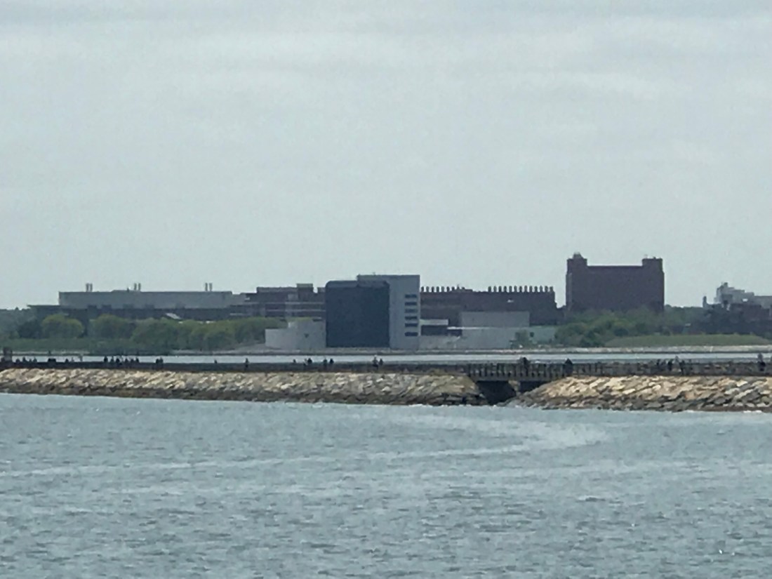
Far in the distance, one can see the John F. Kennedy Presidential Library and Museum! It’s that white building with the large black block inside it. And we were just there!
Spectacle Island likely has the most famous story…
It wasn’t always this open and green. Back in the 1800’s, it was home to two large resorts that became incubators of absolute vice, with brothels, opium dens, gambling hideouts, and other corrupt and shady dealings. It was closed and torn down by the Boston Police 10 years later, and over the next few decades had become a horse-rendering plant to make glue, and a trash incinerator for the People of Boston. When the incinerator closed down, it simply became a massive landfill, and it grew 35 acres thanks to the multitudes of trash piled up upon it.
In the 1990’s, using dirt from the recently created Ted Williams Tunnel, they resurfaced the island, covered up the trash, and soon, the newly green island became the Wildlife Refuge that it is today…
Simply stunning.

One half in Long Island (not to be confused with Long Island in New York) was well camoflaged. Three hidden tunnels lead deep into the island, where at one point explosives were kept! At another time, it also served as storage for thousands of books for the Boston Public Library… huh.

The other half of Long Island also plays host to a now abandoned asylum separate from the mainland. It had been the inspiration for the book Shutter Island by Dennis Lehane, and the movie of the same name starring Leonardo DiCaprio. Though the island is restricted, rumors persist that there are future plans for this site.
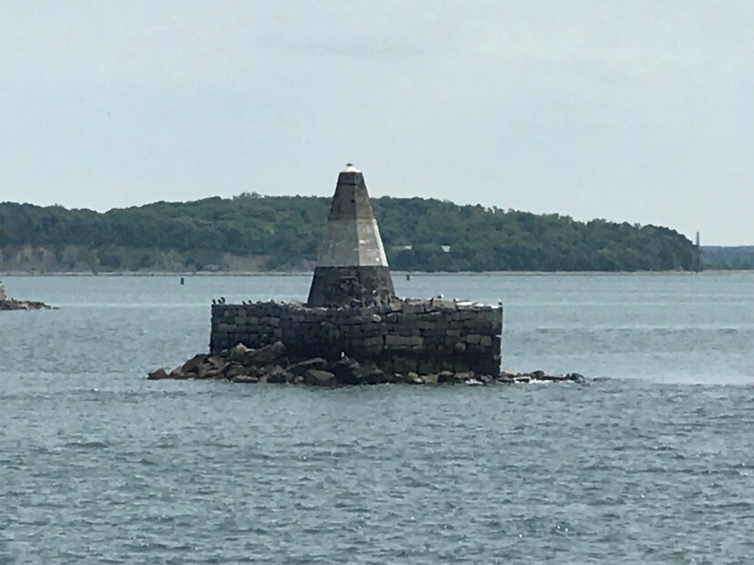
The smallest island in the bay, which doesn’t seem like an island at all…
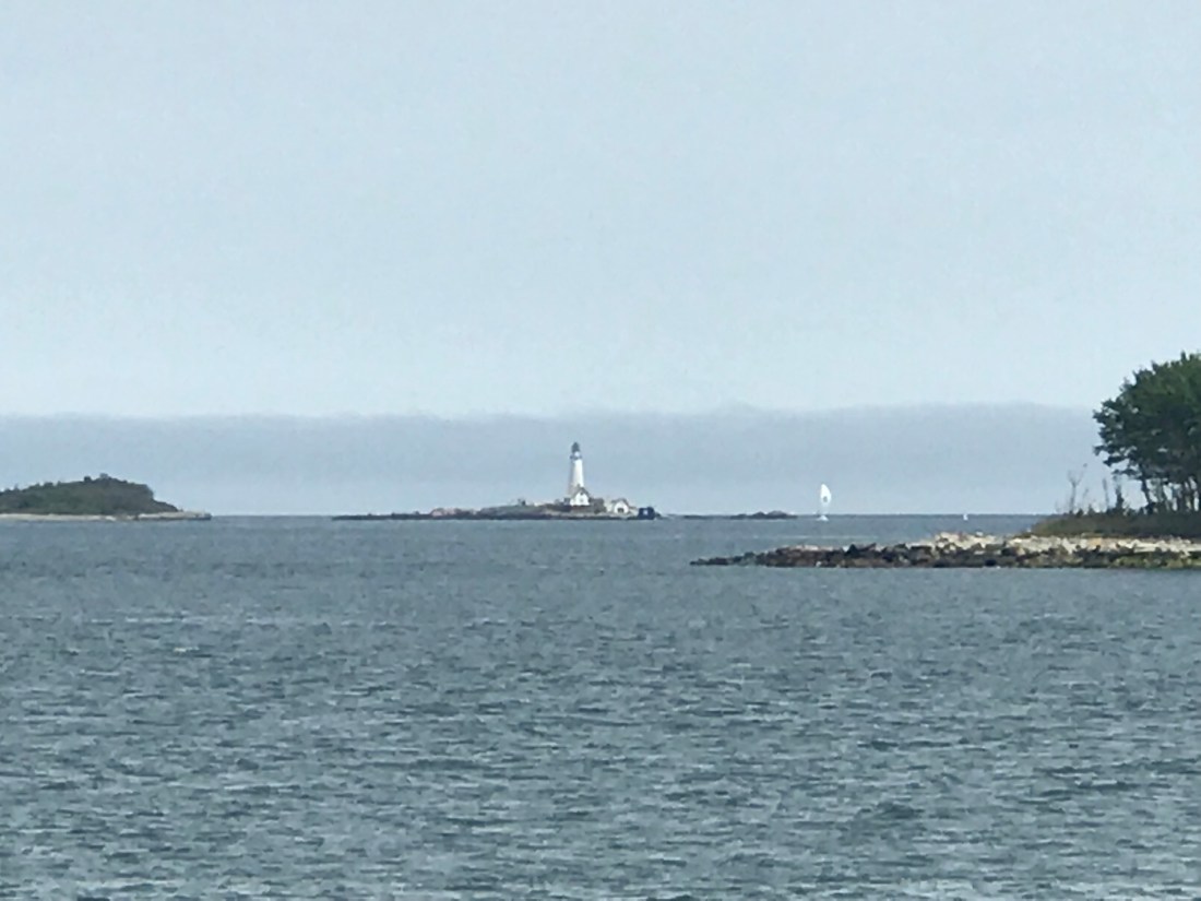
A very neat lighthouse in the distance. One could see the light blinking occasionally as it made it’s revolutions.
The island with the sandbar alongside it is Rainsford Island. This island is… interesting to say the least. A single hermit, dubbed “The Mayor of Rainsford”, lives on that island all by himself. He chases anyone off the island who trespasses…
I wish that was a joke, but it isn’t. That is simply hilarious…
The Atlantic Ocean out in the distance… Next Stop, Portugal!
Heh, just kidding, we began our turn back to the inner harbor.
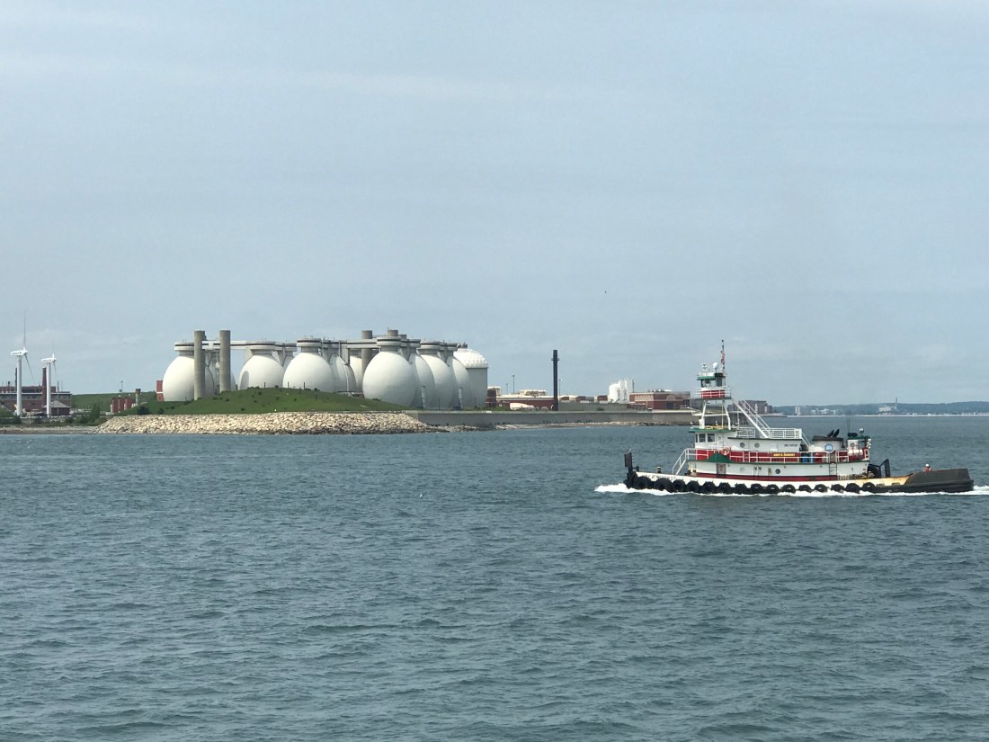
Back in the day, Boston Harbor was one of the filthiest bodies of water in the entire world, thanks to the massive pollution and waste in the water… This filtering plant, located on Deer Island (which is also not an island thanks to the artificial land connection), changed all that, and the harbor is now one of the cleanest places in the country.
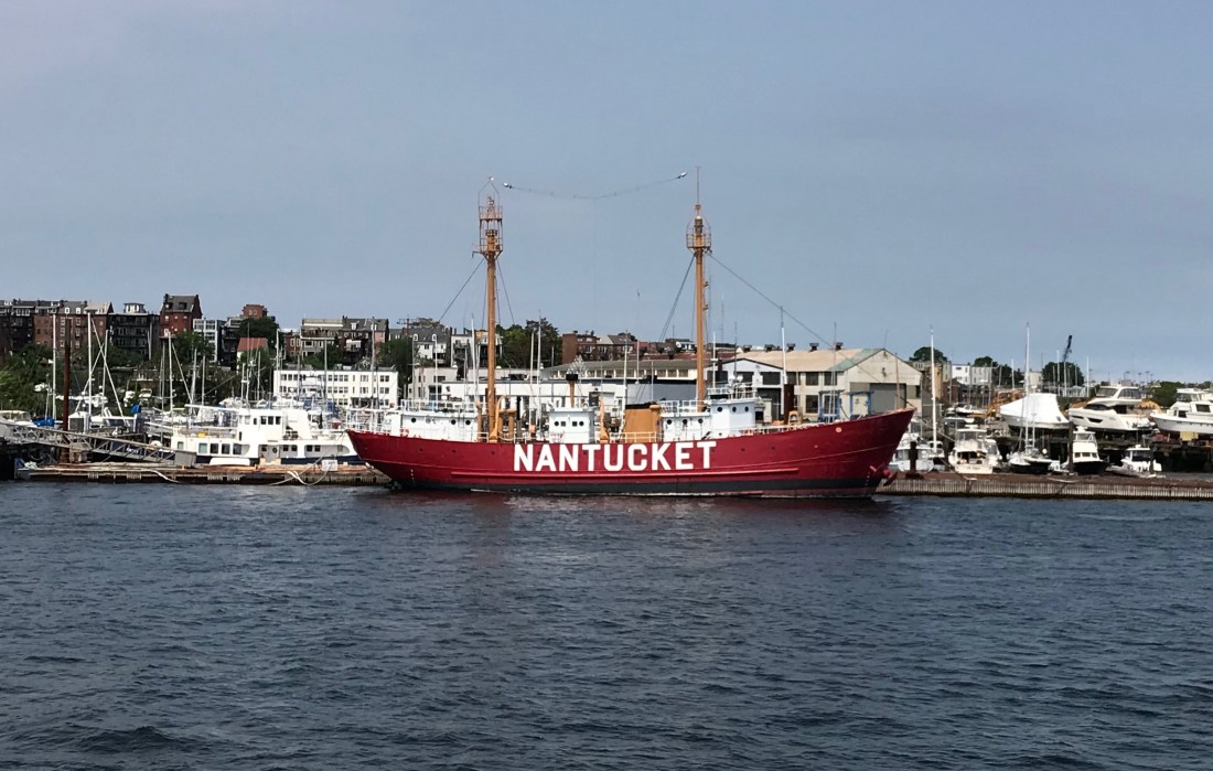
A Nantucket Lightship, which are often found around Nantucket Island (far from the Boston Harbor), where they mark the dangerous shoals of the island to better enable safe navigation to the island. It’s the largest lightship model in the entire world!

The Maurice J. Tobin Memorial Bridge, which serves to connect Charlestown (North Boston) to Chelsea farther north. Tobin was a former Mayor of Boston, Governor of Massachusetts, and Secretary of Labor under President Truman.

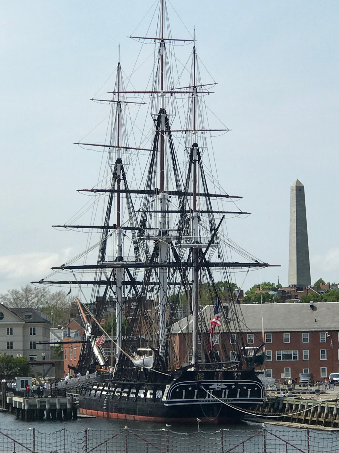
The U.S.S. Constitution herself, once again! This is a terrific angle to see it by the way, for we can see the full scale and view of the hull and rigging!

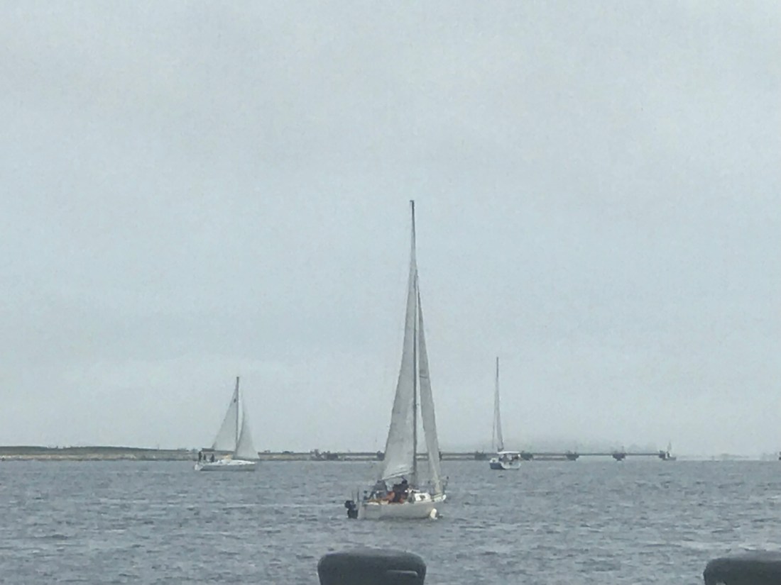
Yet more sailboats just chillin’ in the harbor.

See that clocktower in the distance? That’s a Mariott Vacation Club establishment, formerly the Custom House of Boston. Back during the 1960’s, this was the tallest building in Boston, which just goes to show how much the city has massively developed over the years.
Also, don’t rely on the tower to count on the time, for it will give you four different answers, one for each face.
After finishing our cruise, and thanking our tourguide, we looked along the harbor for some neat place to eat, that was truly “Bostonian Seafood.” Since this was in the middle of the afternoon, we considered that this meal would be our “Linner” (similar to “Brunch”, if you get my meaning).
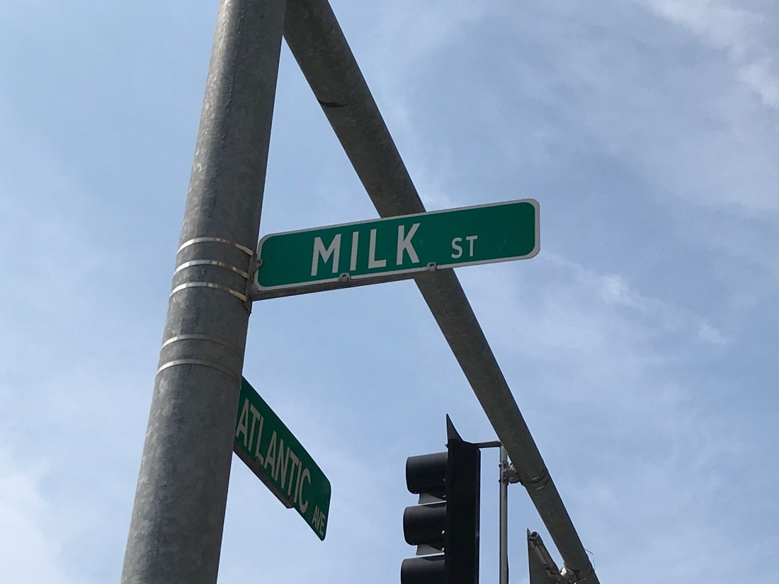
This was a suprise to me, for Milk Street was the very street where Benjamin Franklin was born! I remember writing about that in a Middle-School project on Ben Franklin, so that’s neat to see!
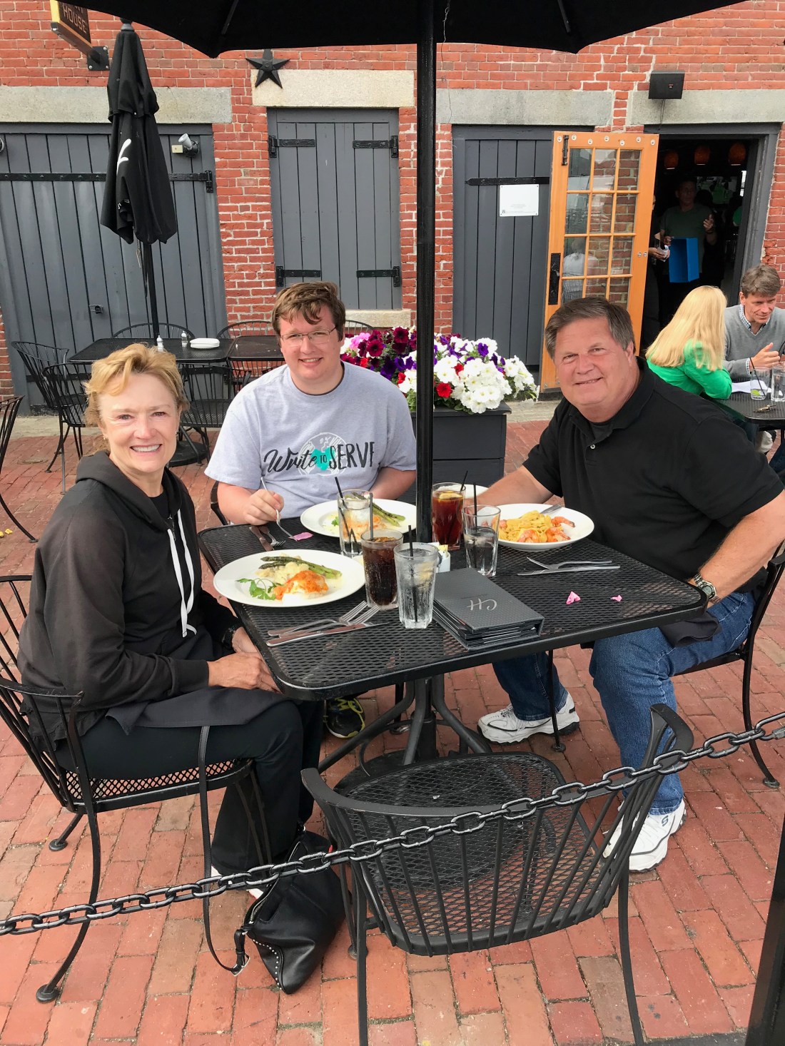
Eventually, we came to a Charter-House restaurant, and enjoyed some of the finest seafood there was to offer here in town.

Really, a visit to Boston is UTTERLY FUTILE if you don’t try a cup of “New England Clam Chowder!” This was perhaps the best Clam Chowder that I have ever tasted!

Perhaps a bit fancier than we could imagine, but our meals were nonetheless packed with flavor… I got “Lobster-stuffed Scrod”, along with Mashed Potatoes and Asparagus… all delicious…
After spending the remainder of the day enjoying our last hours here along the Harbor, we returned to our hotel, more energized than before, and very eager to return home to our beloved State of Texas!
As of the time that I post this, we are waiting at Boston-Logan International Airport, waiting to hop on the plane back to Austin, and to home!
Only one post remains to commemorate this 3-week trip… the conclusion to the epic saga of our Historical Odyssey. The adventure is nearly over…
Thank you for sticking with me to the very end… I’ll see you for one last time very soon!
